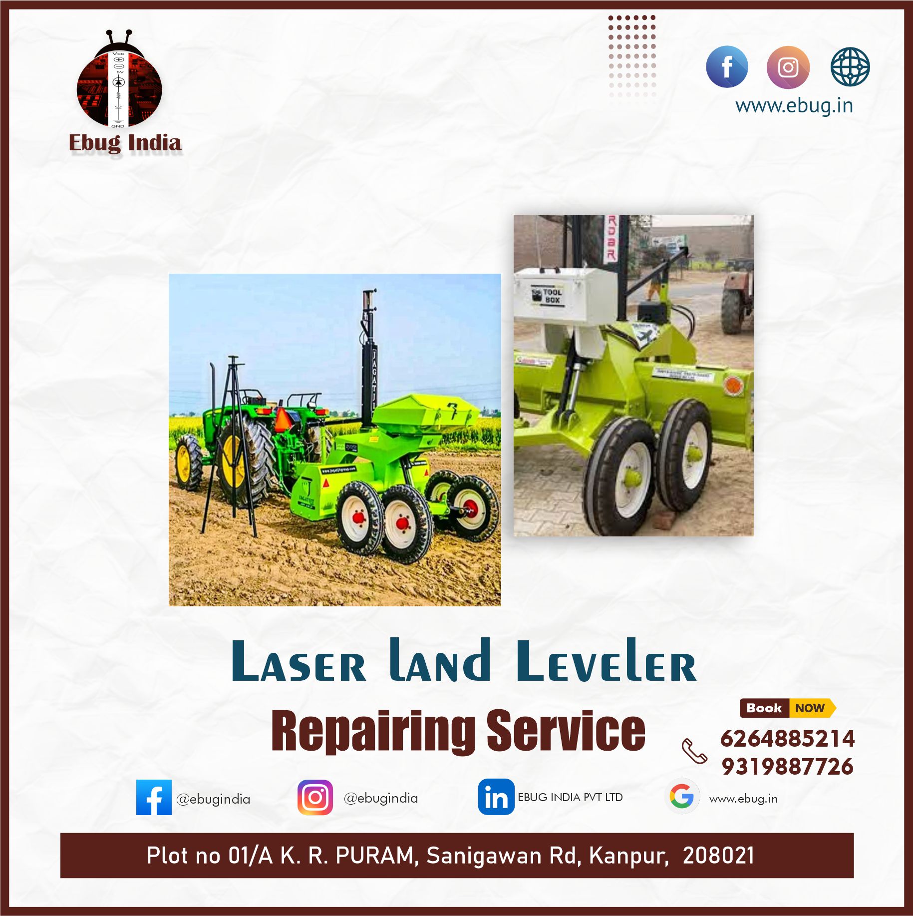
GPS-Based Laser Land Leveling
GPS-Based Laser Land Leveling: Revolutionizing Agricultural Efficiency
Land leveling is a critical agricultural practice that ensures uniform distribution of water, seeds, and nutrients across a field. Traditionally, this process has been labor-intensive, time-consuming, and often imprecise. However, the advent of GPS-based laser land leveling technology has revolutionized this practice, offering unprecedented precision, efficiency, and sustainability benefits.
What is GPS-Based Laser Land Leveling?
GPS-based laser land leveling combines the precision of GPS technology with laser-guided equipment to level agricultural land. This system uses a laser transmitter that emits a constant beam, which is detected by a receiver mounted on leveling equipment, typically a tractor-pulled scraper. The GPS component provides real-time location data, ensuring that the leveling process is accurate to within centimeters.
Advantages of GPS-Based Laser Land Leveling
-
Precision and Uniformity:
- Traditional land leveling methods often result in uneven surfaces, leading to waterlogging in some areas and insufficient irrigation in others. GPS-based systems ensure a uniform level, optimizing water distribution and improving crop yields.
-
Water Efficiency:
- Uniform land surfaces facilitate efficient irrigation, reducing water wastage. This is particularly crucial in arid regions where water conservation is essential. Studies have shown that GPS-based leveling can reduce water usage by up to 30%.
-
Increased Productivity:
- Accurate land leveling enhances seed distribution and root growth, leading to better crop stands and higher yields. Farmers can achieve up to 20% increase in productivity by adopting this technology.
-
Cost-Effective:
- Although the initial investment in GPS-based equipment is high, the long-term savings in water, labor, and increased yields make it cost-effective. Reduced need for re-leveling and lower maintenance costs further enhance its economic viability.
-
Environmental Benefits:
- By minimizing water usage and preventing runoff, GPS-based land leveling contributes to sustainable farming practices. It reduces soil erosion and helps maintain soil health, which is vital for long-term agricultural productivity.
How It Works
-
Surveying the Land:
- The process begins with a detailed survey of the field using GPS equipment. This survey generates a topographic map indicating the high and low points of the field.
-
Planning the Leveling:
- Based on the survey data, a leveling plan is created. This plan guides the laser-guided equipment to cut and fill the land to achieve a uniform level.
-
Implementing the Leveling:
- The laser transmitter is set up in the field, and the receiver is mounted on the leveling equipment. As the equipment moves across the field, the GPS and laser systems work together to ensure precise leveling.
-
Verification and Adjustment:
- After leveling, the field is re-surveyed to ensure accuracy. Any deviations are corrected to maintain the uniformity of the land surface.
Real-World Applications and Success Stories
Farmers worldwide have embraced GPS-based laser land leveling with remarkable success. For instance, in India, where water scarcity is a pressing issue, the technology has been a game-changer. Farmers in Punjab and Haryana have reported significant water savings and yield increases. In the United States, large-scale farms have adopted this technology to enhance efficiency and profitability.
Future Prospects
The future of GPS-based laser land leveling looks promising, with ongoing advancements in GPS accuracy and automation. Integrating this technology with other smart farming practices, such as precision agriculture and IoT-based monitoring systems, can further enhance its benefits. As farmers continue to face challenges like climate change and resource scarcity, innovative solutions like GPS-based land leveling will be crucial for sustainable agriculture.
In conclusion, GPS-based laser land leveling represents a significant leap forward in agricultural technology. By combining precision, efficiency, and sustainability, it helps farmers optimize their operations and secure better yields, contributing to food security and environmental conservation.
Comments (0)